CN Geomatics Survey | Quality Precision Engineering

store header bg

Back to results

store-galley-image
CC
premium-cardPremium user

CN Geomatics Survey

Gauteng

Quality Precision Engineering

Is this your store?

Claim this storefront

About CN Geomatics Survey
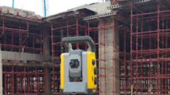
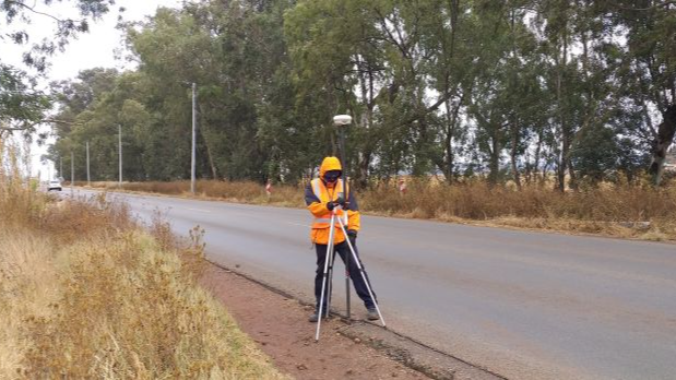
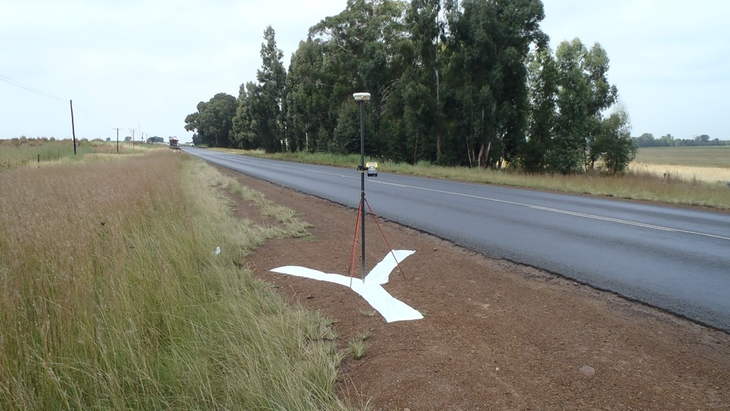
Closed now

CN Geomatics Survey is a dynamic firm offering professional Land and Engineering survey services.
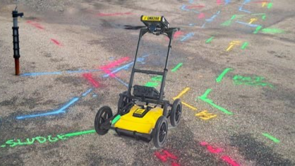
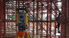
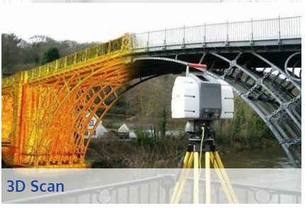
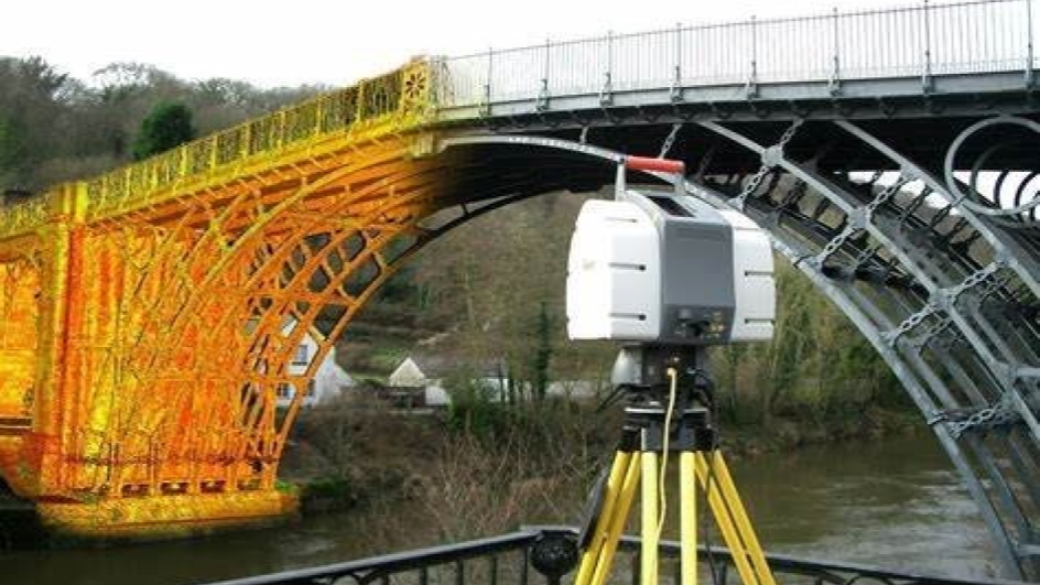
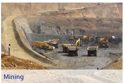
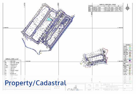
CN Geomatics Survey provides a comprehensive range of high quality, surveying services to our clients throughout the African continent. We are creative professionals with over 25 years of experience, committed to identifying the most appropriate, cost-effective solution for your needs.

Compliments

Verified by Yep!

Gauteng

Loading...

Services on offer

service image

3D Laser Scanning

CN Geomatics provides a faster, safer, and more precise 3D Laser Scanning that is an alternative to traditional survey. Our 3D Laser Scanning service can capture, visualize, and model complex structures, sites and features. This is of particular value in the Built environment, where 3D Laser Scanning has proven to be of immense value during the design, construct and upgrading of new and existing structures.

Per Call out : From R 0.01

service image

Engineering Survey

Engineering Surveys relates to surveys undertaken for the construction of any infrastructure, during the design or construction phase. Engineering surveys includes the following types of surveys: · High Precision Control Surveys · Setting out Surveys · Movement Monitoring Surveys · Structural Surveys · Bulk earthworks Surveys · Roadworks Surveys · Pipeline Surveys · Bridge Construction Surveys · Railway Surveys · Powerline Surveys · Building Setting out

Per Call out : From R 0.01

service image

Topographical Surveys

This being the formation of a Digital Terrain Mode of the ground surface where points are surveyed in order to accurately define terrain features. Typical deliverables provide a as-built and contour plan. Detailed Ground , As-built surveys and includes the following : · Detailed Ground line Surveys · As-built Surveys · Volume Surveys · Auditing Surveys · DTM Modeling & CAD Drafting

Per Call out : From R 0.1

service image

Establishment of Survey Control

Establishment and fixing of permanent survey control beacons within the area of interest.

Per Service : R 0.1

service image

Property / Cadastral Surveys

We can provide land survey services through one of our registered land survey associates. • Beacon Relocations • Sectional Title Conversions • Property Consolidations • Subdivision Surveys

Per Call out : From R 0.01

service image

Utility Service Detection Surveys

Non-intrusive survey of buried infrastructure and/or underground services.

Per Consultation : From R 0.01

service image

Setting out surveys

The survey whereby an engineering designs of any type or infrastructure is staked out to facilitate the accurate construction thereof.

Per Call out : From R 0.01

service image

Architectural / Building Surveys

This segment of our business focuses on 3D modelling of any terrain, existing buildings or features and includes the following services: · Topographical / Detail Surveys · 3D Scanning to produce point clouds · 3D computer modelling of Buildings or features · New Building Setting out.

Per Call out : From R 0.01

Reviews

This business doesn’t have any ratings or reviews yet.

Be the first to review this business